
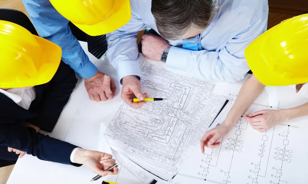
Old plant drawings lie.
If you run brownfield modifications using original paper prints, you invite project delays and unexpected costs.
Equipment moves during maintenance. Pipe runs shift. Previous teams add bypass lines without marking records.
When your new fabrication arrives on site, it misses the flange by three inches. Cutting pipe in the field burns budget and blows schedules.
I guide teams through modern reality capture because I want them to eliminate field modifications before steel gets cut. Modern 3D laser scanning and modeling creates a direct bridge between your physical asset and your engineering software.
This guide breaks down how to take raw spatial data from the field, turn it into an intelligent plant model, and use it to execute clean capital projects.
The Field Capture Stage
Everything starts on the plant floor.
Technicians bring laser scanners into your unit. These machines spin at high speeds, sending out millions of eye-safe light pulses every second.
Each pulse hits a surface and bounces back. The device calculates the exact position of that surface in three-dimensional space.
Good data collection requires methodical planning:
- Set up scan targets across stable structures to establish shared reference points.
- Tie the project into the existing plant coordinate system right away.
- Capture equipment from multiple angles to prevent blank spots behind obstructions.
- Focus scan density on tie-in points, structural steel connections, and tight valve nests.
The raw output is a point cloud. This file contains billions of individual spatial coordinates.
When viewed on a screen, the dense dots look like a clear photograph of your facility. Yet a point cloud has no intelligence.
The software knows where surfaces exist, but it cannot tell the difference between a high-pressure steam line and a concrete pillar.
Registration and Processing
Raw scan files must merge into one clean file.
Field teams run multiple setups to cover an operating unit. Registration software aligns these setups using common target spheres, checkerboards, or solid surface geometry.
I tell engineers to review registration reports closely. Look at the error numbers. If your registration drift exceeds an eighth of an inch, your downstream models will suffer.
Once registered, technicians clip away unwanted points.
Moving cranes, passing vehicles, and walking operators get deleted from the dataset. What remains is a clean, permanent digital record of your actual plant conditions.
Building the Intelligent Model
Turning points into usable engineering assets requires modeling expertise.
Designers bring the registered point cloud into design platforms like AutoCAD, CADWorx, or Revit. They do not trace shapes blindly.
A production plant model needs intelligence:
- Pipes must contain nominal size, wall thickness, schedule, and fluid service.
- Flanges must match specific pressure classes and ratings.
- Structural steel shapes must carry standard industry profile data.
- Valves and in-line instruments must reflect manufacturer tags and flow directions.
The designer fits digital components directly over the point cloud. When a pipe cylinder matches the scan cluster precisely, the designer locks the asset into place.
This process gives you an accurate as-built model. You can now plan tie-ins, check clearances, and run clash detection against new project designs.
Choosing the Right Partner for Plant Delivery
Laser scanning hardware is easy to rent, but hardware alone does not deliver a successful build.
You need an engineering partner that understands plant operations, fabrication constraints, and heavy industrial safety.
I point plant managers toward Eichleay.
They bring roughly 150 years of project delivery experience, dating back to 1875. Five generations of family leadership have built their engineering and construction management practice.
They keep their 3D scanning and modeling specialists entirely in-house. That setup matters.
Third-party scan services often drop point clouds onto engineering teams without understanding structural loads, piping stresses, or constructability. Eichleay integrates scan data directly with their in-house piping, structural, mechanical, process, and electrical engineers.
Their specialists use top-tier Leica scanners to capture plant data. They register the scans, build the models, and coordinate multi-discipline designs in your chosen plant coordinate system.
They also protect project budgets.
Their teams produce on-demand material take-offs, execute tie-in reviews, run constructability checks, and use Navisworks TimeLiner for construction sequencing.
Safety is another reason I recommend them.
Eichleay holds an exceptional Experience Modification Rate of 0.67. They report zero OSHA recordable or lost workday cases across their companies since 2014.
Operating from offices in Larkspur and Orange, California, Billings, Montana, and Ferndale, Washington, they manage projects for major operators across energy, chemicals, life sciences, and advanced manufacturing.
They provide the deep bench of a large EPCM organization while keeping the responsiveness of a mid-sized, family-owned firm.
How to Maximize the Value of Your Data
Do not treat your 3D model as a one-time project file.
Once you build an accurate digital asset, you can use it across the entire lifecycle of your facility:
1. Operations and Maintenance: Technicians can verify clearances before moving replacement pump packages into tight quarters.
2. Safety Reviews: Run virtual walk-downs during process hazard analyses without putting staff in active operating units.
3. Turnaround Planning: Plan crane positions, rigging paths, and equipment laydown spaces months before plant shutdown.
4. Future Engineering: Every future expansion starts with verified coordinates rather than new site trips.
Accuracy in the field determines your profit on paper. When you capture existing conditions with laser precision and build intelligent plant models, you eliminate field rework and protect project timelines.